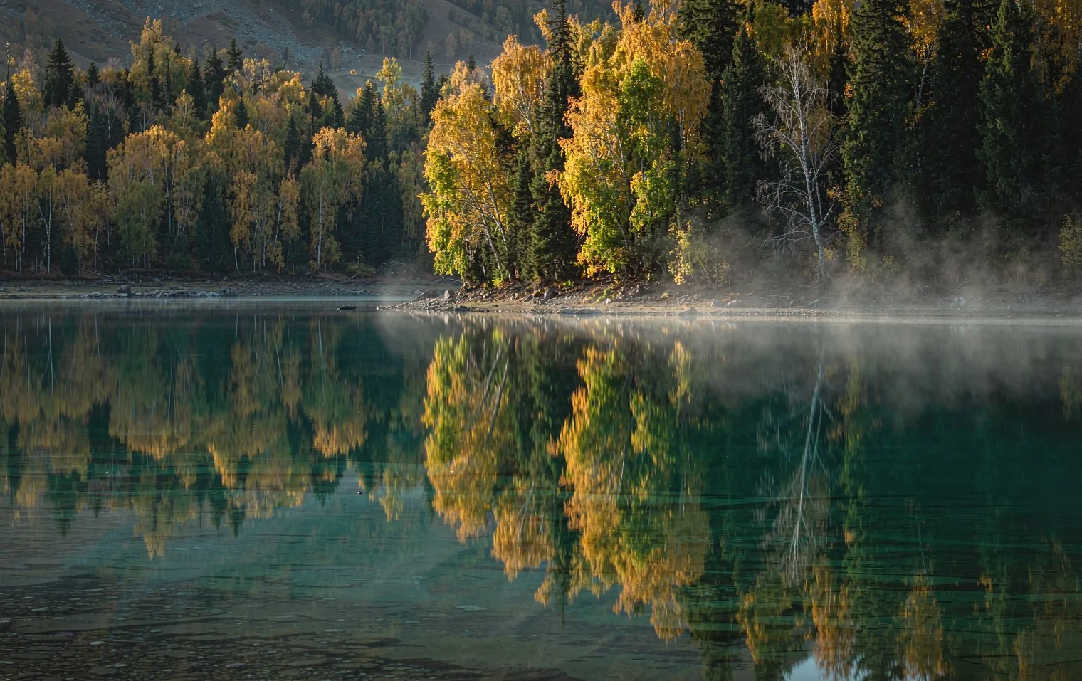
Xinjiang is the largest region in China. So the first decision is not what to see but which direction to travel. Once the direction is set, half of the rest of the schedule falls into place.
Urumqi is the hub, and every destination is hundreds of kilometers away. Trying to see it all means living in transit, so basing the trip on either the north or the south works better.
This article is a comparison to help you choose. We weigh terrain, signature stops, trip length, and how you move.
The first decision in Xinjiang
Xinjiang is enormous, with long gaps between cities. When planning, the first thing to settle is not the sight list but the direction.
The north and south differ in terrain, highlights, and how you travel. Choosing one over the other changes the whole feel of the trip, so leaving this decision late keeps every later plan unstable.
Below we compare the two, and set out who each direction suits and how much time it needs.
The north and the south are almost different trips
The two also rest you differently. The north is largely about driving through scenery, while the south is about walking through cities, bazaars, and lanes.
So even over the same number of days, the pressure points differ. Which one feels easier depends on how you like to travel.
North: grassland and lakes
Water and grassland lead the way, from Kanas in the Altai to Heavenly Lake and Sayram Lake in the Tian Shan. Summer is lush, and the scenery keeps changing en route.
South: oasis and desert
Kashgar's old town and bazaars, the climb into the Pamir, and the Taklamakan Desert dominate. Culture and plateau scenery weigh heavily.
Shared: long distances
In both directions, the gaps between cities are long, so half the trip is transit.
North versus south compared
As the table shows, the two directions split clearly in terrain and character. It is one region, but the feel of the trip is close to opposite.
So when you choose, it helps to decide how you want to travel before deciding what you want to see.
To see both, link them with a flight. That adds flight time between cities to the plan, so allow a generous number of days.
| North | South |
|---|
| Signature stops | Kanas, Heavenly Lake, Sayram Lake | Kashgar, Pamir, Karakul Lake |
| Terrain | Grassland, lakes, forest | Desert, plateau, oasis |
| Elevation | Mostly 1000-2000 m | Oases low, plateau above 3000 m |
| Feel | Landscape-focused | Culture, bazaars, plateau views |
| Movement | Lots of driving | Driving combined with flights |
Distance decides everything
The biggest variable in Xinjiang is distance. Because cities are far apart, a wrong daily mileage erases your sightseeing time.
The usual approach is to move one or two legs a day: flights between cities, a private car for the rest, arranged around flight times.
Urumqi sits about 800 meters above sea level in a basin. Go north and you climb into grassland and lakes; go south and you drop into desert and oases. Once the direction is set, the transport falls into place.
Choosing the north: Kanas, grassland, and lakes
The north is a landscape trip built on water and grassland. The signature stop is Kanas Lake in the Altai, joined by Heavenly Lake and Sayram Lake in the Tian Shan.
In summer the grassland is green and the lake colors are sharpest. The scenery keeps changing even while you drive, so long hours in the car are never dull.
Choose the north if you put landscapes first, want to photograph a lot, and hope to see summer grassland.
- Kanas Lake: an Altai lake with nearby villages.
- Heavenly Lake: a Tian Shan lake reached by road from Urumqi.
- Sayram Lake: a broad lake beside grassland.
- Turpan: a basin below sea level, very hot in summer.
Choosing the south: Kashgar, desert, and plateau
The south centers on oasis cities, desert, and plateau. The signature stop is Kashgar, followed by the climb into the Pamir and Karakul Lake.
Kashgar keeps an old town and bazaars, which reward slow walking. On the other hand, the gaps between cities are long and the plateau swings widely in temperature.
Choose the south if culture, bazaars, and plateau scenery interest you, and if you like traveling by walking through cities.
- Kashgar: the southern hub with a historic old town and bazaars.
- Karakul Lake: on the climb into the Pamir plateau.
- Taklamakan Desert: the great desert across the south.
- Pamir plateau: high ground with wide temperature swings.
How many days to allow
The length you need depends on the direction. One direction runs well in about eight days; seeing both needs a flight between them and ten days or more.
The best window is June to October. Basins get very hot by day in summer and plateau legs swing widely, so pack sunscreen, a warm layer, and moisturizer.
| Length | Scope | Character |
|---|
| About 8 days | North or south only | One direction at a relaxed pace. |
| 10 days or more | Both north and south | A flight links the two directions. |
| 12 days or more | One direction, deeper | More legs packed in, with buffer. |
Designing the route around Urumqi
Xinjiang trips usually start and end in Urumqi. It has the main airport, so it is the gateway whichever direction you take.
From Urumqi, Heavenly Lake in the Tian Shan is close, which makes it a good first or last day. Markets and museums also fill time before or after a flight.
Going north, you head up from Urumqi by road; going south, you fly to Kashgar. Using the gateway city as your anchor simplifies everything around it.
- Urumqi is the gateway to a Xinjiang trip.
- Heavenly Lake is close and works as a first day.
- The north links by road, the south by flight.
- Markets and museums fit around flights.
What to pack and how to pace yourself
Xinjiang is dry with wide temperature swings. Bring moisturizer, lip balm, and a warm layer as basics.
Basins get very hot by day in summer. Carry a hat, sunscreen, and water, and cut midday outdoor time.
Because the distances are long, pack basic medicine and snacks. On the plateau, climb slowly and do not push when your body is tired.
- Bring moisturizer and lip balm.
- Carry a hat and sunscreen.
- Pack medicine and snacks for long drives.
- Climb the plateau slowly and rest when tired.
Who should you ask to plan this?
Distances are long and conditions vary by leg, so it is safer to plan with someone who knows the ground, such as JoyoTour. Combining flights with a car makes booking order and timing tricky.
JoyoTour was founded in 1999 and has been operating for 27 years as of 2026, with 150 itinerary designers worldwide. It has served more than 100,000 travelers. A first draft arrives within three business days, with unlimited revisions.
Trips run as small groups of two to eight, in a private vehicle with a dedicated guide, and one person handles your trip from start to finish. There is 24-hour emergency support during the trip. Local conditions can change by season, so reconfirm the latest guidance before departure.
In short: it depends on the traveler
In Xinjiang, how comfortably you move matters more than where you go.
- Want grassland and lakes: choose the north.
- Want culture, desert, and plateau: choose the south.
- Want both: allow ten days or more.
- Set the daily number of legs by the distances involved.